About Skylivia Drones
Leading Aerial Imaging Specialists
At Skylivia, we specialize in capturing the world from above. Our team uses state-of-the-art drones to create high-resolution videos and photographs for a variety of industries including real estate, construction, and events. Operating out of Ottawa, ON, we focus on delivering creative and reliable service, ensuring every project is handled with precision and care.
«"View the world differently with Skylivia's aerial vision."»
Elevate Your Visual Story
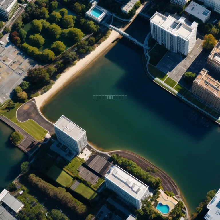
Drones enable dynamic viewpoints, offering engaging perspectives impossible from the ground. Skylivia’s team tailors each flight plan to highlight architectural features, event highlights, or survey details precisely as you envision.
Did You Know?
The use of drones for photography has grown over 150% in the last five years, driven by demand for unique angles in marketing, inspections, and creative storytelling.
Our pilots are trained under Canadian Aviation Regulations and follow all safety guidelines. We manage permitting, preflight checks, and post-production to deliver polished results on time.
Request a quote and redefine your visual content today.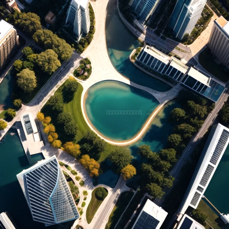
Our Aerial Services
Skylivia offers versatile solutions for diverse needs. Whether you require cinematic footage, detailed property images, or aerial surveys, we adapt technology and creative skills to meet your objectives.
Real Estate
Showcase listings with sweeping aerial views that attract more potential buyers.
Events
Capture memorable moments at weddings, festivals, and corporate gatherings from the sky.
Inspections
Conduct safe and efficient roof, solar panel, and infrastructure inspections with high-resolution drone imaging.
Why Choose Skylivia?
Our focus on safety, technical expertise, and creative vision sets us apart. We work closely with clients to plan flight paths, select optimal times for lighting, and apply advanced editing techniques to bring each project to life.
Standard Aerial Tour
Perfect for introductory projects, this package includes up to 10 minutes of aerial video and five edited photos delivered in HD format.
Select PlanAdvanced Cinematic Pack
Includes up to 30 minutes of aerial footage, 20 high-resolution images, and custom color grading for professional presentations.
Select PlanSurvey & Mapping
Geotagged imagery and orthomosaics for construction and land management, with detailed image stitching and data export.
Select Plan